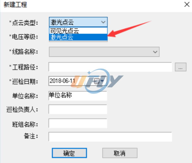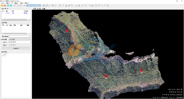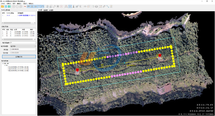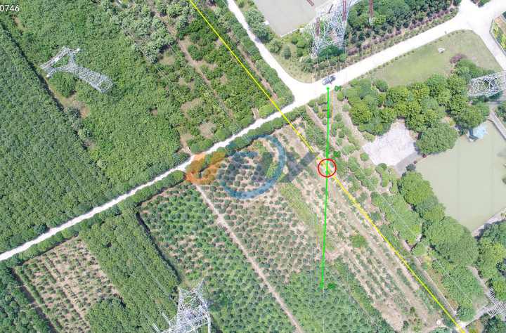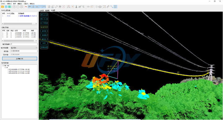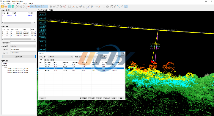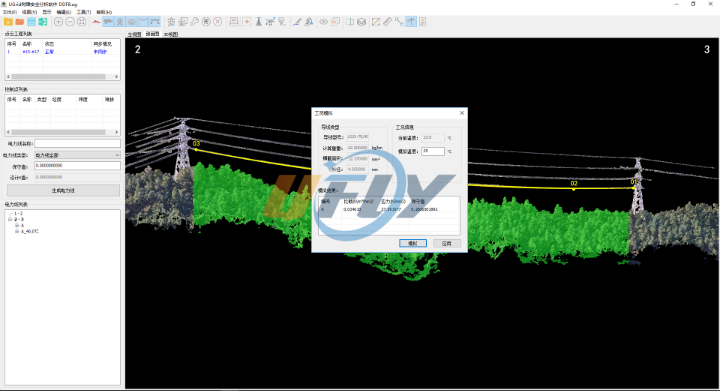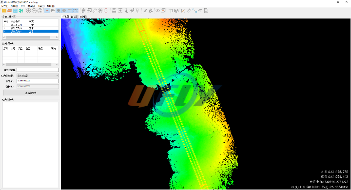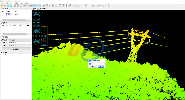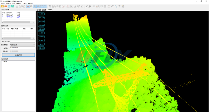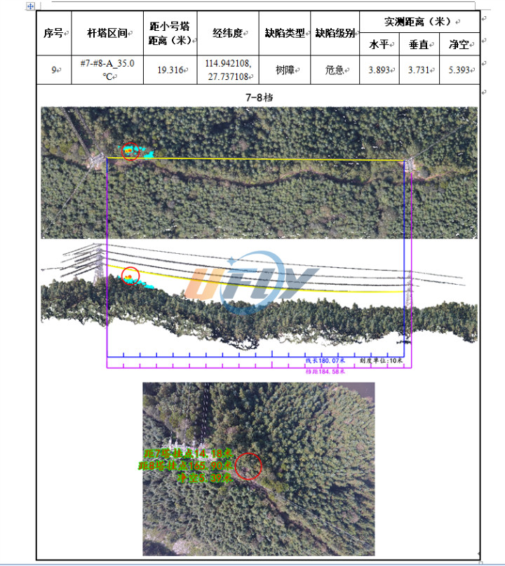
The obstacle of trees analysis is a statistical evaluation software developed for the analysis of tree barrier hazards. It realizes the transformation of tree barrier analysis from artificial field measurement to UAV assisted automatic measurement, improves the efficiency and quality of obstacle of tree analysis, and uses intelligent technology to guarantee the safety of power grid. Based on image dense point cloud matching and stereoscopic mapping technology, the software is used for wire sag modeling, tree barrier safety distance analysis and crossover distance measurement for transmission line channels.
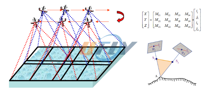
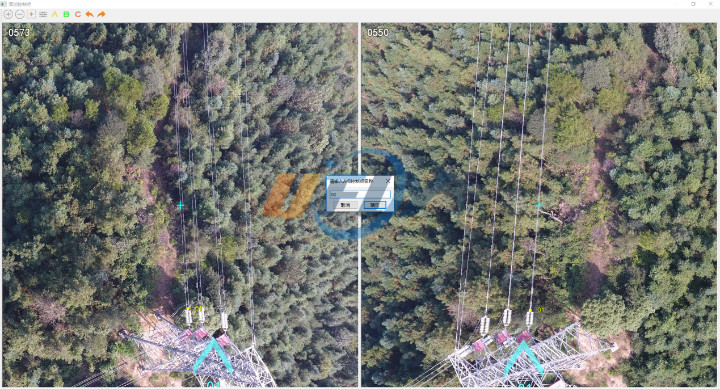
Combining with the data achievements of UAV ,the system uses the UAV high-definition image to measure a small number of homonymy points, which under the power line, semi-automatically and uniformly, , then obtain the power line trajectory according to the suspension line formula.
At the same time, the point cloud data is classified to distinguish the ground from the surface, for calculating the accurate distance between the power line and the ground surface. Finally, the system carries out the hazard analysis automatically, highlights the hazard points, and automatically generates the hazard points analysis report on the tree barrier under real-time working conditions.
Compared with the laser radar technique, this system reduces the technical and economic threshold for the prevention of hidden tree barriers, and supplies decision basis for power grid fault troubleshooting, daily inspection, emergency inspection, etc.
